Dont know if this has been mentioned before as I cant be arsed to look so.....
You seen Google Earth ?
It's only in beta at the moment but it is totally stunning !
Download the prog....if its offline wait a day till they repost the exe.
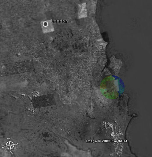
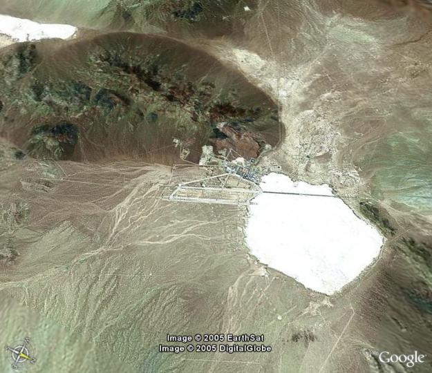
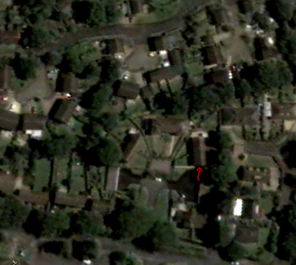
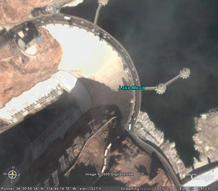
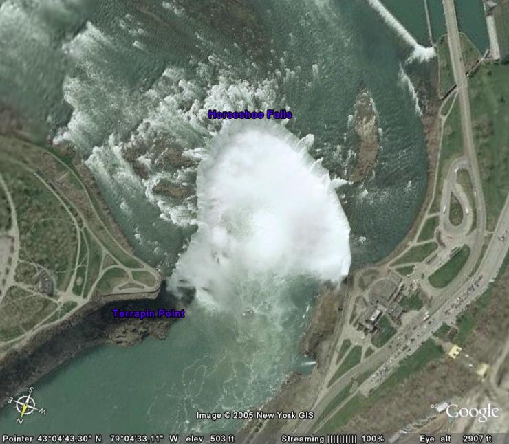
Pick an American city (Seattle works well) and it will fly you there....you can then zoom right in and it uses satelite images to show you the city....you can see cars on the freeway and everything !!! Try Tokyo too !!
Then when you thought it was pretty cool.....go back to Settle and in the bottom left tick "3D Buildings" in he layers box. You now get 3D models showing building height and you can fly around Seattle !
Most of America has been done....some of the UK too. Need a good connection cos it pulls loads of data off the google servers. Just bellow the pic you will see a "Streaming" figure, wait for 100% for pix to be complete.
You seen Google Earth ?
It's only in beta at the moment but it is totally stunning !
Download the prog....if its offline wait a day till they repost the exe.
Pick an American city (Seattle works well) and it will fly you there....you can then zoom right in and it uses satelite images to show you the city....you can see cars on the freeway and everything !!! Try Tokyo too !!
Then when you thought it was pretty cool.....go back to Settle and in the bottom left tick "3D Buildings" in he layers box. You now get 3D models showing building height and you can fly around Seattle !
Most of America has been done....some of the UK too. Need a good connection cos it pulls loads of data off the google servers. Just bellow the pic you will see a "Streaming" figure, wait for 100% for pix to be complete.
Last edited:


 )
)")


")